Viewing
Points
When you’re on an
island
Or even once you
reach a coast
You can see what it
really is you’re living on
You see a side of
the earth here
It’s
the perspective of the land from the edge
So go to a
coastline, have a look at sea-level
Look at the land
from the edge
See at this level,
look out for this dimension
Sea-points, viewing
points, edges
Cutting edges that
cut out the shadows of the moment
The surfaces of
unconsciousness, in favour of
Direct, immediate
exposure: sea-level to deep sea
Then there’s
another possibility, a way of finding
What’s below:
ground level to cave
Go there to seek
your unconscious, you’re closer here
In this inside-oasis
Here you might find
That, overall,
points of view
Are really points of
you
And your hand, your
palm, mirrors and echoes the landscape
With each line a
river.
©
Ursula Troche, 4.17
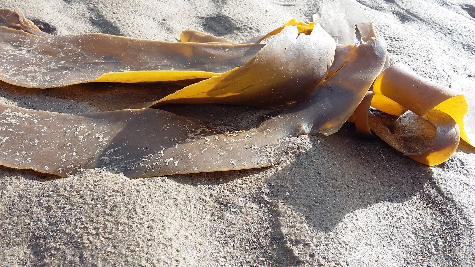
Seaside
Insight
Seaweed
grew tall
In
the light of the evening sun
Gaining
in height
As
part of the ontology of the sea
And
its attendant
Symphony
of the land
Music
and knowledge
Have
made the landscape into what it is
Giving
voice to the dream of the earth
Sending
messages up to the feet of the seaweed
Growing
into meaning-making
At
the edge of the land
Land-listening
occurs
Landscape
longing, I move to the end of land-ness
Taking
this as a vantage point for our connectedness
With
the sea, the seaweed, the world and the sun signs
Of
growth, for the light is the midwife of all bloom
And
water is another: essential element of energy
Nurturing,
night and day, enacting freshness
Sea-listening
occurs just as much
With
my insight from the seaside side by side
With
the land, looming large, and where invisible
Continuing
under the sea, land everywhere
Seen
and unseen, with our without sea.
© Ursula
Troche, 4.17
Seal
Silence
The sound of the
seals
Articulate the
silence
So silence has
attained a wide scope
Of meaning,
interpretation and fascination
This side of the
northern, sea, this seaside
Echoes the sound of
seals, magnifying the magic
Of life in tune with
the sounds of silence
©
Ursula Troche, 4.17
Waves
Open
ended, open minded
You
recommended the sky
As
a space to concentrate on
A
place to look up to
Unsuprisingly,
wholeheartedly
I’d
never expected to do just this,
And
for long periods of time,
But
there was a lot going on there
Clouds
and birds and sun and moon
And
even my hand, when I hold it up
I
wave with it, addressing the sky
And
perhaps I even
Make
waves with it
Sky-waves,
like airwaves
Transmission
waves, waves like brushstrokes
On
the beach, painting the land as it washes it
A
special form of ephemeral water colour painting
And
so we have reached the water
Waves
operate in two dimensions, two elements
Agents
of motion, wave-levels:
Air-level
plus water-level equals wave-level
Movement
guaranteed
Its
equations, reflections and reverberations too!
Sky,
like the sea
Blue
at last!
©
Ursula Troche, 4.17
Water
Forms
Water forms, not
water falls: water-rivers even sometimes. Sometimes water even rises
evenly, sometimes it rises suddenly, and sometimes it rises like
this:
I divided the
patches of grass and the patches of trees into water and land whilst
sitting in a train in Poland. It’s the longevity of the view of
exclusively grass and tree patches.
I’ve been
imagining more and more spaces of water in my life: I’ve been
thinking about the times I keep still for a life modelling pose as
water – posing the process of swimming from one water’s edge to
another, and the times around the pose as land-time, normal time,
solid space. It’s exacerbated by the keeping of silence and
nakedness whilst posing, the resumption of talking and of being
dressed when not posing. When a pose finishes, I stop being dipped
and submerged into my inner life on this intensive, intriguing and
immense level.
©
Ursula Troche, 12.16